In this guideJump to a section
A storm can lose a category and still bring dangerous rain, coastal water or tornadoes to a particular community. The category is one number about wind; it is not a household forecast and does not replace local evacuation instructions.
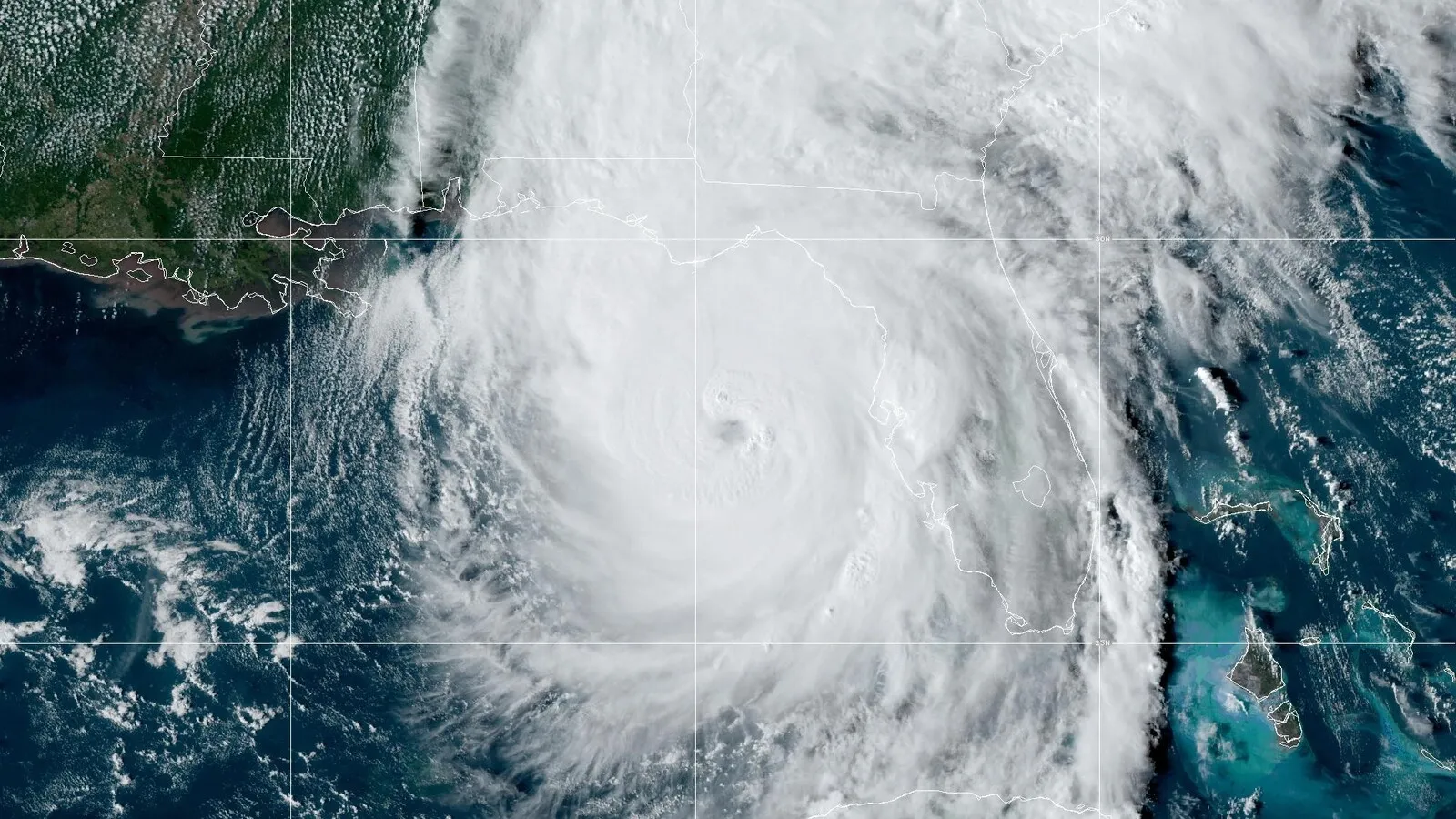
The NOAA satellite image with this article shows Hurricane Helene over the Gulf region on September 26, 2024. It is a historical illustration, not a current storm image. The source identifies it as a NOAA/NESDIS/STAR GOES East image.
What the hurricane categories measure
The Saffir-Simpson Hurricane Wind Scale rates sustained wind from Category 1 through Category 5. The National Weather Service states that the wind values use the U.S. one-minute average. Its category table is:
| Category | Sustained wind band |
|---|---|
| 1 | 74–95 mph |
| 2 | 96–110 mph |
| 3 | 111–129 mph |
| 4 | 130–156 mph |
| 5 | 157 mph or higher |
Categories 3 through 5 are called major hurricanes. Categories 1 and 2 are still dangerous. These labels describe the wind scale; they do not tell you whether roads, utilities, buildings, or people in one location are safe. The NWS Miami scale provides the wind bands and averaging basis.
What the category does not measure
The word “category” can sound like a whole-storm score, but the Saffir-Simpson scale only addresses wind. NOAA notes that storm surge and inland flooding have historically caused many hurricane deaths; hurricanes may also produce tornadoes and other hazards. A tropical storm or Category 1 or 2 hurricane can still cause major overall damage depending on the hazards affecting a place.
| Hazard to check separately | What the wind category leaves unanswered | Where to look next |
|---|---|---|
| Wind | Local gust timing, warning details, and effects on a particular building or road | Official local forecast and warning; property-specific instructions |
| Storm surge and coastal flooding | Whether a location is in a surge-risk area or could flood | Official local surge and evacuation-zone products and emergency instructions |
| Rain and inland flooding | Where heavy rain, river rises, or flash flooding may affect routes or homes | Local flood watches/warnings and road closures |
| Tornadoes | Whether a storm-related tornado watch or warning covers the area | Local NWS alerts and community shelter instructions |
No category tells you which hazard applies to your address. Use the official product for the hazard, location, issue time and valid period, then follow the local emergency-management office for evacuation zones, orders, routes, shelters and re-entry. NOAA says local evacuation orders can arrive before storm or storm-surge watches and warnings; do not wait for a category or a headline. NOAA’s hurricane guidance explains why the scale cannot substitute for hazard-specific information, and the NWS hurricane action page directs residents to local officials and says to leave immediately if ordered.
Four hazards and local instructions
Use the same location and check time across the official products. A forecast can change; write down when each page or alert was issued and the period it covers. If you do not know whether a product or instruction applies to your location, contact local emergency management instead of guessing from the category.
| Check | What to record |
|---|---|
| Shared location and time | Address area or official zone; time checked |
| Separate hazard products | For wind, surge/coastal flood, rain/inland flood and tornadoes: product name, issue/valid time and applicable action |
| Local evacuation instruction | Issuing authority, affected zone, required action and deadline |
| Unanswered question | Local emergency-management contact and question to resolve |
This record is a prompt to check current local information, not a storm tracker or permission to stay. Do not use it to decide when to leave, which road is safe, or when a damaged area is open again. For evacuation preparation and the household’s departure checklist, use the hurricane preparedness guide.