Tsunami Warning: A Coastal Household’s Route to High Ground
Know the natural tsunami warning signs, identify local evacuation routes before an earthquake, and move away from the coast when official or natural warnings apply.
In this guideJump to a section
A coastal household needs two warning paths: a local earthquake or other natural warning that can arrive before a phone alert, and an official message about a more distant tsunami. NWS says to act on natural warnings without waiting for an official alert. The immediate actions above come first during an event; the route record below is for preparation at home and at regular coastal destinations.
Prepare a route for the places you actually visit
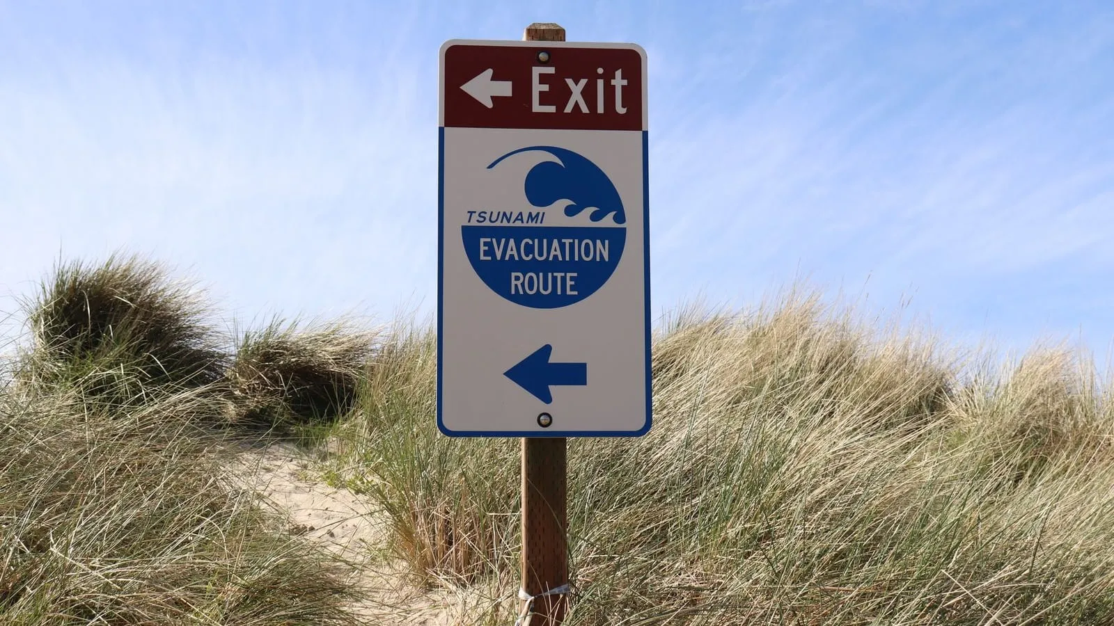
Use the local tsunami hazard or evacuation map for home, work, school, and regular destinations. The National Weather Service recommends mapping routes from places you regularly visit and planning to travel on foot when possible. Ask local emergency management which destinations and routes they designate. Do not assume a familiar hill, upper floor, or road is safe without local guidance.
| Route detail | Household record |
|---|---|
| Primary safe place | Name the locally designated area outside the hazard zone or other official destination |
| Walking route | Record the route from home and from common destinations; consider road damage and congestion |
| Alternate | Note another local route or safe destination if officials identify one |
| Who needs more time | Agree who helps children, older adults, people with disabilities, pets, and anyone needing mobility support |
| Confirmation | Choose a simple check-in method after reaching safety; do not delay departure to send messages |
There is no universal elevation, route length, or evacuation time that applies to every coast. Local maps reflect local terrain and planning. If a route or safe destination is unclear, ask the local emergency management office before an event.
When the earthquake is the warning
During shaking, protect yourself: drop, cover, and hold on where appropriate. Expect aftershocks. Once you can move safely, follow the tsunami evacuation route immediately. Avoid damaged buildings, bridges, piers, fallen power lines, and debris while leaving. Do not stop at the shoreline to watch water movement.
A sudden ocean rise or withdrawal and a loud ocean roar are natural warning signs too. Any one of these signs at the coast can mean a tsunami may follow. Move inland or to high ground; check official information once you are in a safe place.
When an official alert arrives
The National Weather Service classifies a Tsunami Warning as “Take Action”: dangerous coastal flooding and powerful currents are possible, and evacuation is recommended. An Advisory also calls for action, including staying out of water and away from beaches and waterways; a Watch means a tsunami is possible, so stay tuned and be prepared. Read the current alert definitions and follow local instructions because alerts may be upgraded, cancelled, or changed.
Stay outside the hazard zone until local officials say it is safe. The National Weather Service warns that the first wave may not be the largest and dangerous currents can continue for hours or days. Do not return because the ocean looks calm or because one wave has passed.
For the broader shaking and aftershock plan, use the earthquake preparedness guide. This page focuses on coastal tsunami movement and local route planning; it does not provide a live alert, a national evacuation map, or locally approved route details.

